Live Cams
Countries
Featured Cams
Get A Cam
Live Cams
Countries
Featured Cams
Get A Cam
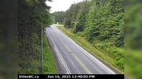
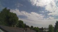
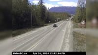
Area A | Live Webcams
Webcam & Weather Report
See.cam
North America
CA
British Columbia
Area A
Area A
Current Still
Timelapse
Daylight Still
Webcam was last updated 2 years ago
Rating
Webcam Views
Map
Discuss
See more webcams in
British Columbia
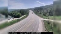
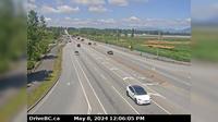
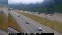
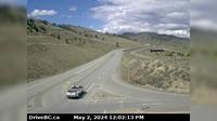
Area C › West: Hwy 19 near Hyde Creek Rd, 4.5km south of Port McNeill, looking west
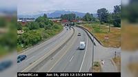
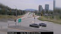
Port Coquitlam › East: Hwy 7B, on Mary Hill, looking east
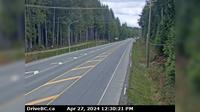
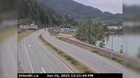
Alert Bay › East: Hwy 19 at Campbell Way in Port McNeill, looking east
Nanaimo › North: Hwy 19 at College Drive, looking north
Taylor › South: Hwy 97 at Big Bam Road in South - looking south
Vancouver › East: Fairview - South Cambie - Mount Pleasant - East Vancouver
Britannia Beach › South: Hwy 99 in - at Copper Drive, looking south
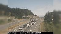
West Lynn › South-East: Hwy 1 at the Mountain Highway exit, looking south
Terrace › West: Hwy 16 at Hwy 37S near - looking west
Surrey › North-West: Hwy 15 at Fraser Hwy (1A) looking north-west
Surrey › East: Hwy 1 at 176th Street overpass, looking east
Kamloops › West: Hwy 1 at Holloway Drive, near Savona, looking west
Explore by Continent
Europe
Asia
South America
Oceania
North America
Africa


Discuss