Live Cams
Countries
Featured Cams
Get A Cam
Live Cams
Countries
Featured Cams
Get A Cam
Area A | Live Webcams
Webcam & Weather Report
See.cam
North America
CA
British Columbia
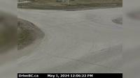
Area A
Area A
Current Still
Timelapse
Daylight Still
Webcam was last updated 2 years ago
Rating
Webcam Views
Map
Discuss
See more webcams in
British Columbia
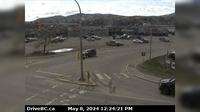
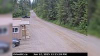
Burns Lake › South: Hwy 16, in - at N. Francois Hwy, looking south
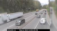
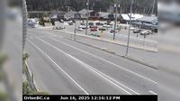
Port Coquitlam › West: Hwy 7B/Mary Hill Bypass at Shaughnessy St looking west
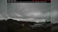
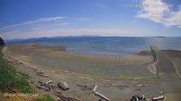
Area A › South-West: BellaBella
Juan de Fuca Electoral Area › South: Hwy 1 at Okotoks Road, looking south
Fraser Lake › North: Hwy 16 at Stella Road in - looking north
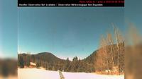
Area H › North-West: ManningProvincialPark
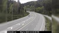
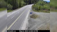
Squamish › South: Hwy 99, about 24 km north of - looking south
Comox › South-West: Point Holmes
Area P › South-West: Adams Lake Ferry west shore landing, looking at ferry line up toward Rawson Road
Nanaimo › East: Hwy 1 at Zorkin Rd/Brechin Rd, looking to Zorkin Road
Regional District of Fraser-Fort George › West: Hwy , about km east of Prince George near Purden Lake, looking west
Whistler Resort Municipality › South: Hwy 99, in Whistler at Village Gate Blvd, looking south
Explore by Continent
Europe
Asia
South America
Oceania
North America
Africa


Discuss