Live Cams
Countries
Featured Cams
Get A Cam
Live Cams
Countries
Featured Cams
Get A Cam
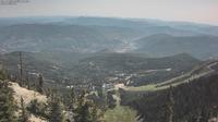
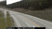
Area C | Live Webcams
Webcam & Weather Report
See.cam
North America
CA
British Columbia
Area C
Area C
Current Still
Timelapse
Daylight Still
Webcam was last updated 2 years ago
Rating
Webcam Views
Map
Discuss
See more webcams in
British Columbia
Lantzville › South: Hwy 19, at Aulds Rd in Nanaimo, looking south
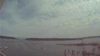
Nanaimo: Harbour northeast
Witset › West: Hwy 16, in - at Beaver Road, looking west
Area J › North-East: Hwy 97D (Logan Lake/Lac le Jeune Rd) at Hwy 5, looking northeast
Rossland › South: Hwy 3B at Hwy 22 near the - Weigh Scale, looking south on Hwy 3B
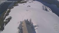
Rossland: Red Mountain Ski Resort 2
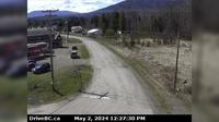
Area H
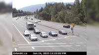
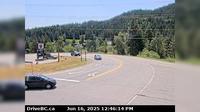
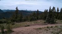
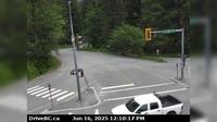
Area C › South
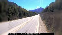
Hope › East: Hope Slide, BC - Mount Potter - Sunshine Valley - Mount Outram
Soda Creek › West: Hwy 97 and Beaver Lake Rd junction north of McLeese Lake, looking west
Alpine Meadows › East: Hwy 99 at Alpine Way, looking east
New Denver › North: Hwy 6 at Hwy 31A in - looking north
Explore by Continent
Europe
Asia
South America
Oceania
North America
Africa


Discuss