Live Cams
Countries
Featured Cams
Get A Cam
Live Cams
Countries
Featured Cams
Get A Cam
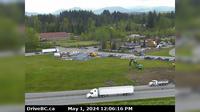
Area H › North: Hwy 19 at Cook Creek Road, about 29 km north of Parksville, looking north | Live Webcams
Webcam & Weather Report
See.cam
North America
CA
British Columbia
Area H
Area H › North: Hwy 19 at Cook Creek Road, about 29 km north of Parksville, looking north
Current Still
Timelapse
Daylight Still
Webcam was last updated 3 years ago
Rating
Webcam Views
Map
Discuss
See more webcams in
British Columbia
Saanich › East: Hwy 17 northbound at - Rd, looking east
Clearwater › North-West
Fernie: Cedar Bowl View From Great Bear Top 1.680m - Coal
Kelowna: Airport - Southwest View
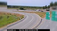
Abbotsford › North: 264 Street - Trans-Canada Highway
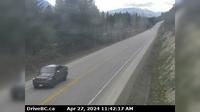
Columbia-Shuswap Regional District › West: , Hwy , by Griffin Lake, about km west of Revelstoke, looking west
Mill Bay › North: Hwy 1 south of - Rd Overpass at the Bamberton Park Entrance, looking north
Kitimat › North: Hwy 37 at Oolichan Avenue, 5 km north of - looking North
Delta › West: Hwy 91 Connector at Nordel Way, looking west
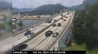
Vancouver › North: Hwy 1, south end of Ironworkers Memorial Bridge, looking westbound towards the North Shore
Golden › North-West: Hwy 1, near Blaeberry River Bridge, looking northwest
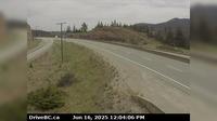
Thompson-Nicola Regional District › North: , Hwy at Larson Hill, km south of Merritt, looking north
Explore by Continent
Europe
Asia
South America
Oceania
North America
Africa

Discuss