Live Cams
Countries
Featured Cams
Get A Cam
Live Cams
Countries
Featured Cams
Get A Cam
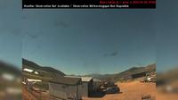
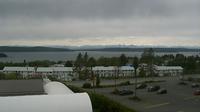
Regional District of Kitimat-Stikine: Bob Quinn Lake SE | Live Webcams
Webcam & Weather Report
See.cam
North America
CA
British Columbia
Bob Quinn Lake
Regional District of Kitimat-Stikine: Bob Quinn Lake SE
Current Still
Timelapse
Daylight Still
Webcam was last updated 6 years ago
Rating
Webcam Views
Map
Discuss
See more webcams in
British Columbia
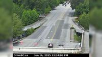
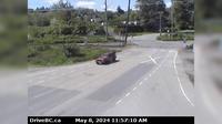
Township of Langley › West: Hwy 1 at 232nd St. overpass, looking west
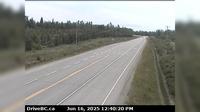
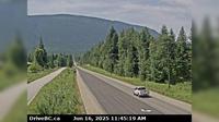
Isle Pierre › East: Hwy 16 at Bednesti between Prince George and Vanderhoof, looking east
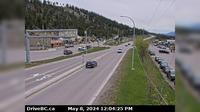
Vernon › South-West
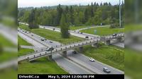
Chilliwack › West: Hwy 1 at Prest Rd in - looking west
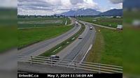
West Vancouver › North: Taylor Way at Marine Drive, looking north on Taylor Way
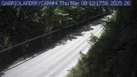
Area B: Taylor Bay Road
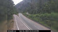
Harrison Hot Springs › East: Hwy 1, near Herrling Island, looking east
Radium Hot Springs › South: Hwy 93/95 roundabout, at - looking southbound on Hwy 93/95
Abbotsford › West: Hwy 11 at Clayburn Road, looking west
Area K › South: Hwy 6, in Burton at Burton Main Rd, about 22 km north of Fauquier, looking south
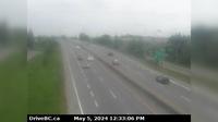
Vancouver › West: Hwy 91 (East-West Connector) at No.6 Road, looking west
Port McNeill › North
Explore by Continent
Europe
Asia
South America
Oceania
North America
Africa


Discuss