Live Cams
Countries
Featured Cams
Get A Cam
Live Cams
Countries
Featured Cams
Get A Cam
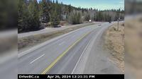
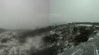
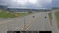
Burns Lake › East: Hwy 16, in - at N. Francois Hwy, looking east | Live Webcams
Webcam & Weather Report
See.cam
North America
CA
British Columbia
Burns Lake
Burns Lake › East: Hwy 16, in - at N. Francois Hwy, looking east
Current Still
Timelapse
Daylight Still
Webcam was last updated 2 years ago
Rating
Webcam Views
Map
Discuss
See more webcams in
British Columbia
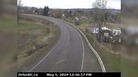
Area D › North: Hwy 97, north of Williams Lake near the turn off to the Bull Mountain ski area, looking north
Cache Creek › East: Hwy 1 at Collins Rd, looking east on Hwy 1/97
New Westminster › East: Hwy 91A, north end of Queensborough Bridge, looking east
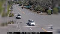
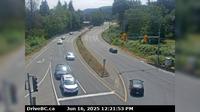
Houston › East: Hwy 16 at Butler Avenue in - looking east
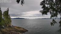
British Columbia: Hecate Island
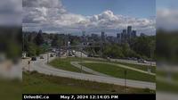
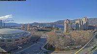
Kelowna › South-West
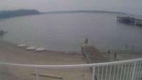
West Vancouver › South: Ambleside Beach - English Bay
Nanoose Bay › South: Hwy 19 at Northwest Bay Rd, near - looking south
Prince George › South: Hwy 97 at Hwy 16 in - looking westbound on Hwy
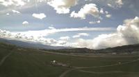
Kelowna: Airport - Southwest View
British Columbia: Koeye River Mouth
Delta › North: Hwy 91 Connector at Nordel Way, looking north
Explore by Continent
Europe
Asia
South America
Oceania
North America
Africa


Discuss