Live Cams
Countries
Featured Cams
Get A Cam
Live Cams
Countries
Featured Cams
Get A Cam
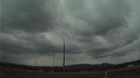
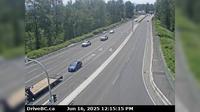
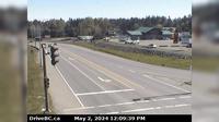
Cherryville › West: Hwy 6, 83 km east of Vernon, looking westbound | Live Webcams
Webcam & Weather Report
See.cam
North America
CA
British Columbia
Cherryville
Cherryville › West: Hwy 6, 83 km east of Vernon, looking westbound
Current Still
Timelapse
Daylight Still
Webcam was last updated 2 years ago
Rating
Webcam Views
Map
Discuss
See more webcams in
British Columbia
Dease Lake: Airport E
Area A › North-West: AddenbrokeIslandLightstation
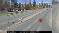
Haney › North: Westbound on Lougheed Highway at Kanaka Way - Bypass
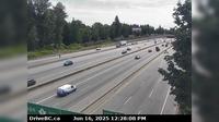
Vancouver › South: Ironworkers Memorial Bridge, mid-span, looking south
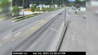
Mission › South: Hwy 7 at Hwy 11 approaching - looking south
Langford › East: Hwy 1 at Millstream Interchange, looking east
Delta › East: Hwy 17 (South Fraser Perimeter Rd), at Hwy 91 Connector, looking east
Mill Bay › North: Hwy 1 south of - Rd Overpass at the Bamberton Park Entrance, looking north
Hilliers › North: Hwy 4 at Alberni Hwy (Hwy 4A) junction, about 2 km west of Coombs, looking north
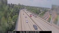
Surrey › South: Hwy 1 at Port Mann Bridge, looking eastbound
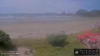
Area C: Long Beach Lodge Resort
Smithers › North: Hwy 16 at Toronto Street in - looking north
Explore by Continent
Europe
Asia
South America
Oceania
North America
Africa


Discuss