Live Cams
Countries
Featured Cams
Get A Cam
Live Cams
Countries
Featured Cams
Get A Cam
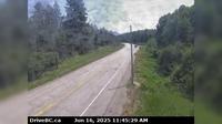
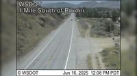
Osoyoos › East: Hwy 3, 9 km west of the Anarchist Summit, east of - looking east | Live Webcams
Webcam & Weather Report
See.cam
North America
CA
British Columbia
Osoyoos
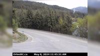
Osoyoos › East: Hwy 3, 9 km west of the Anarchist Summit, east of - looking east
Current Still
Timelapse
Daylight Still
Webcam was last updated 2 years ago
Rating
Webcam Views
Map
Discuss
See more webcams in
British Columbia
Area C › South-East: Hwy 3/93 near Ha Ha Creek Road, looking southeast
Hixon › North: Hwy 97 at Swanson Road near - looking north
Alexis Creek › West: Hwy 20, in - at Stum Lake Rd, looking west
Squamish › North: Hwy 99, about 24 km north of - looking north
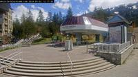
Whistler Resort Municipality: Whistler, bike park
Kaslo › North: Hwy 31 at Hwy 31A Junction in - looking north
Nanaimo › North
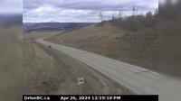
Charlie Lake › South-West: Hwy 29, 29 km west of Ft. St. John, looking southwest
Osoyoos › North: US 97 at MP 335: (View North)
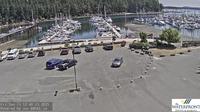
Pitt Meadows › North-West: Pitt River Bridge
Saanich › South: Patricia Bay Hwy (Hwy 17) at Sayward Rd in - looking south
Chilliwack › West: Hwy 7 at Deroche Rd and Nicomen Rd railway crossing, looking west
Explore by Continent
Europe
Asia
South America
Oceania
North America
Africa


Discuss