Live Cams
Countries
Featured Cams
Get A Cam
Live Cams
Countries
Featured Cams
Get A Cam
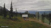
Salt Spring Island Electoral Area › South: SaltSpringIsland-GangesHarbour | Live Webcams
Webcam & Weather Report
See.cam
North America
CA
British Columbia
Salt Spring Island Electoral Area
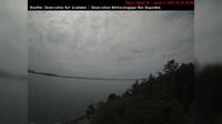
Salt Spring Island Electoral Area › South: SaltSpringIsland-GangesHarbour
Current Still
Timelapse
Daylight Still
Webcam was last updated 2 years ago
Rating
Webcam Views
Map
Discuss
See more webcams in
British Columbia
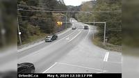
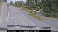
Metchosin › East: Hwy 14 at Kangaroo Rd, looking east
Hagensborg › West: Hwy 20, between Bella Coola and - looking west
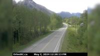
Pemberton › West
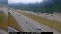
West Lynn › South: Hwy 1, northend of Ironworkers Memorial Bridge at Fern Street, looking southbound
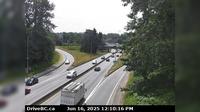
Surrey › East: Hwy 1 at 176th Street overpass, looking east
Southern Gulf Islands Electoral Area › South-West: SaturnaIsland-EastPoint
North Cowichan › East: Hwy 1, at Herd Rd/Cowichan Valley Hwy, about 5 km north of Duncan, looking east
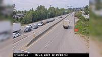
Surrey › West: Hwy 17 (South Fraser Perimeter Rd) at Bridgeview Dr, looking west
Area A › North
Quail Ridge › West: Kelowna
Little Fort › North: Hwy 5, in - at Hwy 5/Hwy 24 junction, looking north
Alert Bay › North-West: AlertBay
Explore by Continent
Europe
Asia
South America
Oceania
North America
Africa


Discuss