Live Cams
Countries
Featured Cams
Get A Cam
Live Cams
Countries
Featured Cams
Get A Cam
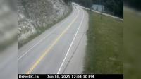
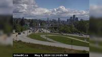
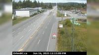
Trail › North: Hwy 3B, about 15 km north of Rossland and 4 km south of summit, looking north | Live Webcams
Webcam & Weather Report
See.cam
North America
CA
British Columbia
Trail
Trail › North: Hwy 3B, about 15 km north of Rossland and 4 km south of summit, looking north
Current Still
Timelapse
Daylight Still
Webcam was last updated 2 years ago
Rating
Webcam Views
Map
Discuss
See more webcams in
British Columbia
Tête Jaune Cache › East: Hwy 16 at Hwy 5 junction, looking east
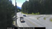
Squamish › South: Hwy 99 at - Valley Rd, about 10 km north of - looking south
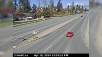
Township of Langley › South: Hwy 1 eastbound on-ramp from 232nd St, looking south
Invermere › East: On Toby Creek Road at Panorama Fire Hall, near Springs Hill Rd, looking east
Port Coquitlam › North: Hwy 7B (Mary Hill Bypass), at Pitt River Rd, looking north
New Westminster › East: Hwy 91A, north end of Queensborough Bridge, looking east
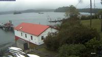
Tofino › North-West: Opitsat - Lone Cone - Catface Peak
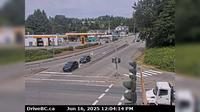
Haney › North: Westbound on Lougheed Highway at Kanaka Way - Bypass
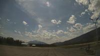
Valemount: Valemount Airport (CAH4)
Surrey › North: Pacific Crossing at 2nd Avenue, looking north
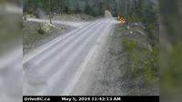
Quesnel › North: Hwy 97, at Sales Rd, about 10 km south of - looking north
North Kelowna › West: East approach to WR Bennett Bridge at Abbott Street, looking west along Hwy
Explore by Continent
Europe
Asia
South America
Oceania
North America
Africa


Discuss