Live Cams
Countries
Featured Cams
Get A Cam
Live Cams
Countries
Featured Cams
Get A Cam
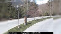
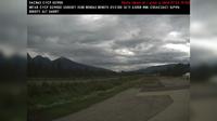
Tumbler Ridge › North-West: Hwy 29 at Hwy 52, looking west on Hwy | Live Webcams
Webcam & Weather Report
See.cam
North America
CA
British Columbia
Tumbler Ridge
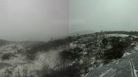
Tumbler Ridge › North-West: Hwy 29 at Hwy 52, looking west on Hwy
Current Still
Timelapse
Daylight Still
Webcam was last updated 2 years ago
Rating
Webcam Views
Map
Discuss
See more webcams in
British Columbia
British Columbia: Hecate Island
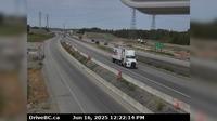
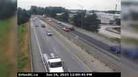
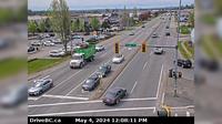
Delta › West: Hwy 99 at 80th Street ramp, looking west
Vancouver › East: Fairview - South Cambie - Mount Pleasant - East Vancouver
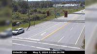
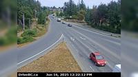
Hazelmere › South: Hwy 15 at 16th Ave, looking south
Marketplace › West: Hwy 99, in Whistler at Lorimer Rd, looking west
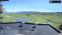
Vernon › East: Predator Ridge Resort
Delta › West: Hwy 91A at Boundary Road, looking west
Saanich › East: Hwy 17 southbound (Blanshard St) at - Rd, looking east
Area B › South: BlueRiver
City of Langley › South-West: Hwy 10 at Fraser Hwy in Langley, looking southwest
Nanaimo › East: Hwy 19 at Northfield Rd in - looking east
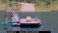
Area K › North: Hwy 6 at South Arrow Park Ferry Terminal, 22km south of Nakusp at junction of Upper and Lower Arrow Lakes, looking at north landing
Explore by Continent
Europe
Asia
South America
Oceania
North America
Africa


Discuss