Live Cams
Countries
Featured Cams
Get A Cam
Live Cams
Countries
Featured Cams
Get A Cam
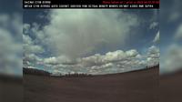
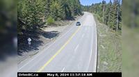
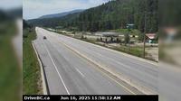
Area A › South | Live Webcams
Webcam & Weather Report
See.cam
North America
CA
British Columbia
Area A
Area A › South
Current Still
Timelapse
Daylight Still
Webcam was last updated 2 years ago
Rating
Webcam Views
Map
Discuss
See more webcams in
British Columbia
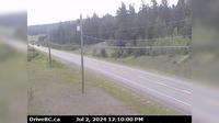
Area E › North-West: Clinton-BleiblerRanch
Regional District of Kitimat-Stikine › West: Hwy (Nass Rd) about km southwest of Village of Laxgalts'ap (Greenville), looking west
Oak Bay › North-East
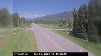
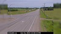
Whistler Resort Municipality › North: Hwy 99, about 13 km north of Whistler at Riverside Drive, looking north
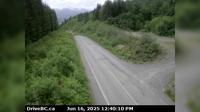
Lumby › West: Hwy 6, Shuswap Hill west of Cherryville, looking west
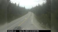
Wright › North: Hwy 97, 37 km south of Williams Lake, looking north
Elko › North: Hwy 3, about 10km south of Fernie at Morrissey Jct, looking north
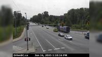
Haney › South: Eastbound on Lougheed Highway at Kanaka Way - Bypass
Columbia-Shuswap Regional District › West: , Hwy near Perry River Bridge, about km east of Sicamous, looking west
Vanderhoof › East: Hwy 16 at Hwy 27 Junction, looking east
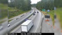
Cedar Village › West: Hwy 1, near Lynn Valley Rd onramp, looking west
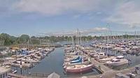
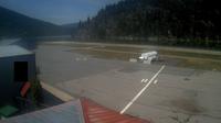
Nelson › West: Airport
Explore by Continent
Europe
Asia
South America
Oceania
North America
Africa


Discuss