Live Cams
Countries
Featured Cams
Get A Cam
Live Cams
Countries
Featured Cams
Get A Cam
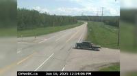
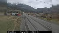
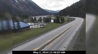
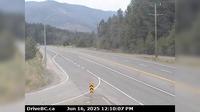
Area E › North-East | Live Webcams
Webcam & Weather Report
See.cam
North America
CA
British Columbia
Area E
Area E › North-East
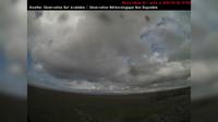
Current Still
Timelapse
Daylight Still
Webcam was last updated 2 years ago
Rating
Webcam Views
Map
Discuss
See more webcams in
British Columbia
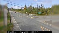
Dawson Creek › East: Hwy 97 (John Hart Hwy) at Mason Rd/237 Rd, looking east
Seafair › North-West: GarryPoint(Richmond)
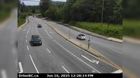
Haney › East: Northbound on Kanaka Way at Lougheed Highway
Abbotsford › East: Cole Road - Trans-Canada Highway
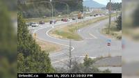
Sparwood › South-East: Hwy 3 at - weigh scale, about 2 km west of the Alberta border, looking south-east
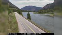
Field › South-West: Hwy 1 at - Access Road, about 16 km west of BC/Alberta border, looking southwest
Maple Ridge › North: Hwy 7 (Lougheed Hwy) at 240th St, looking north along 240th St
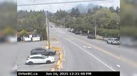
North Cowichan › West: Hwy 1, at Herd Rd/Cowichan Valley Hwy, about 5 km north of Duncan, looking west
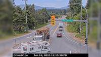
Boothroyd 8A › North: Hwy 1 at Kahmoose Rd in Boothroyd, 12 km north of Boston Bar, looking north
Alert Bay › West: Hwy 19 at Campbell Way in Port McNeill, looking west
Area O › North: Hwy 5, about 2 km north of Highway 24, looking north
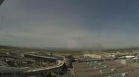
Brighouse › West: YVR Airport Canada Line Station - YVR - Airport
Explore by Continent
Europe
Asia
South America
Oceania
North America
Africa


Discuss