Live Cams
Countries
Featured Cams
Get A Cam
Live Cams
Countries
Featured Cams
Get A Cam
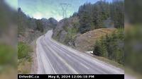
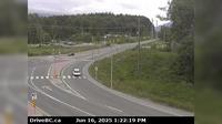
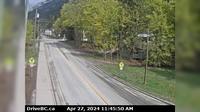
Area E › South-West: Clinton/Bleibler Ranch Airport | Live Webcams
Webcam & Weather Report
See.cam
North America
CA
British Columbia
Area E
Area E › South-West: Clinton/Bleibler Ranch Airport
Current Still
Timelapse
Daylight Still
Webcam was last updated 2 years ago
Rating
Webcam Views
Map
Discuss
See more webcams in
British Columbia
Squamish › North: Hwy 99, about 24 km north of - looking north
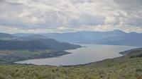
Vernon
Area C › East: Hwy 16, at Kasiks resort area, 60 km west of Terrace, looking east
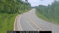
Salmon Valley › North: Hwy 97, north of Prince George at - Rd, looking north
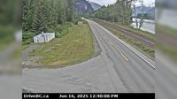
Area E › South: Hwy 16 at Hwy 37S near Terrace, looking south
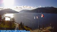
Port Alberni: Harbor Quay
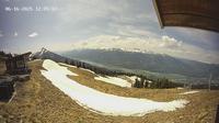
Revelstoke
Port Edward › West: Hwy 16 at - arterial road, looking west
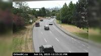
Saanich › South: Hwy 17 southbound (Blanshard St) at - Rd, looking south
New Denver › North: Hwy 6 at Hwy 31A in - looking north
Little Fort › West: Hwy 24, 15 km west of - looking west
Area E › East: Hwy 3A & Hwy 31 at Busk Road near the Balfour inland ferry terminal entrance, looking at ferry parking lot
Explore by Continent
Europe
Asia
South America
Oceania
North America
Africa


Discuss