Live Cams
Countries
Featured Cams
Get A Cam
Live Cams
Countries
Featured Cams
Get A Cam
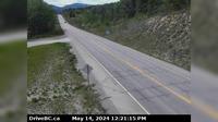
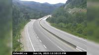
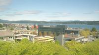
Area F › West | Live Webcams
Webcam & Weather Report
See.cam
North America
CA
British Columbia
Area F
Area F › West
Current Still
Timelapse
Daylight Still
Webcam was last updated 2 years ago
Rating
Webcam Views
Map
Discuss
See more webcams in
British Columbia
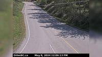
Area A › North: Hwy 95, near Quinn Creek, about 31 km north of Brisco, looking north
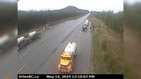
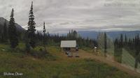
Regional District of Fraser-Fort George › West: Hwy , about km east of Prince George near Purden Lake, looking west
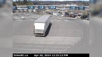
Delta › South: Hwy 17 at 52nd Street, looking south
Mary Hill › East: Hwy 7B - Bypass), at Broadway St in Port Coquitlam, looking east
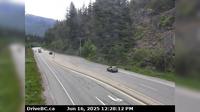
Area B › South: Hwy 5, by northbound Portia Chain Up, looking south
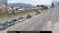
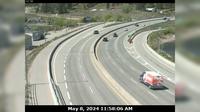
West Kelowna › West: West end of WR Bennett Bridge connecting Kelowna and - looking west
Area A › North
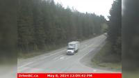
Woss › East: Hwy 19, 75 km south east of Port McNeill and 128 km north of Campbell River, looking east
Campbell River › North-East
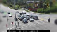
Mission › North: Hwy 7 (Lougheed Hwy) at Hayward St in - looking north-east along Hayward St
Nanaimo › North: Hwy 1 at Zorkin Rd/Brechin Rd, looking at Departure Bay Ferry Terminal
Whistler Resort Municipality › South: Hwy 99, near Brew Creek Forest Service Rd, about 17 KM southwest of Whistler, looking south
Explore by Continent
Europe
Asia
South America
Oceania
North America
Africa


Discuss