Live Cams
Countries
Featured Cams
Get A Cam
Live Cams
Countries
Featured Cams
Get A Cam
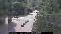
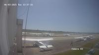
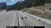
Regional District of Central Kootenay › South: Hwy A near Sanca Creek, . km south of Sanca Creek Bridge, looking south | Live Webcams
Webcam & Weather Report
See.cam
North America
CA
British Columbia
Kuskonook
Regional District of Central Kootenay › South: Hwy A near Sanca Creek, . km south of Sanca Creek Bridge, looking south
Current Still
Timelapse
Daylight Still
Webcam was last updated 6 years ago
Rating
Webcam Views
Map
Discuss
See more webcams in
British Columbia
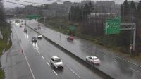
District of North Vancouver › South: Hwy 1 (Upper Levels Highway) at Capilano Rd. looking south
Area E
Lytton › North-West
West Lynn › North: Hwy 1, northend of Ironworkers Memorial Bridge at Fern Street northbound
Delta › South: Boundary Bay Airport
Fraser › South: FraserCamp
North Vancouver › North: Hwy 1 (Upper Levels Highway) at Lonsdale Ave, looking north
Gibsons › North-East: Hwy 101, top of - Bypass at Stewart Rd, looking east
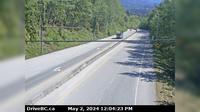
Area B › South: Hwy 5, near Box Canyon Chain-up Area, looking south
New Westminster › North: Hwy 17 (South Fraser Perimeter Rd) at Tannery Rd Overpass in Surrey, looking north
Lake Country › South: Hwy 97, in - by Wood Lake, looking south
Delta › East: Hwy 91A at Boundary Road, looking east
Explore by Continent
Europe
Asia
South America
Oceania
North America
Africa


Discuss