Live Cams
Countries
Featured Cams
Get A Cam
Live Cams
Countries
Featured Cams
Get A Cam
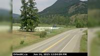
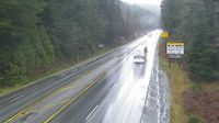
Area K › East: Hwy 6 at Needles Ferry Landing, looking east to ferry landing | Live Webcams
Webcam & Weather Report
See.cam
North America
CA
British Columbia
Area K
Area K › East: Hwy 6 at Needles Ferry Landing, looking east to ferry landing
Current Still
Timelapse
Daylight Still
Webcam was last updated 3 years ago
Rating
Webcam Views
Map
Discuss
See more webcams in
British Columbia
Dawson Creek › West: Hwy 97 at Dangerous Goods Route, west of - looking west
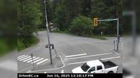
Alpine Meadows › East: Hwy 99 at Alpine Way, looking east
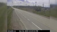
Peace River Regional District › South: Hwy 97 at Beaton Highway, 44 km north of Fort St. John, looking south
Fraser Lake › East: Hwy 16, at Nautley Road, looking east
Fernie: Island Lake 2
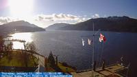
Port Alberni: Harbor Quay
Little Fort › North: Hwy 5, in - at Hwy 5/Hwy 24 junction, looking north
Woss › South-East: Hwy 19, Tsitika, 101 km north of Campbell River and about 27 km south of - looking south-east
Area J › South: Hwy 5 at Exit 366 Logan Lake/Lac le Jeune Rd, looking southbound along Hwy
Lawnhill › North: Hwy 16 at Wiggins Rd, on the east coast of Graham Island, looking north
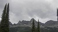
Golden › South-East
Squamish › North: Hwy 99 at - Valley Rd, about 10 km north of - looking north
Explore by Continent
Europe
Asia
South America
Oceania
North America
Africa




Discuss