Live Cams
Countries
Featured Cams
Get A Cam
Live Cams
Countries
Featured Cams
Get A Cam
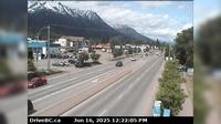
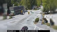
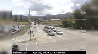
District of North Vancouver › East: Hwy 1 (Upper Levels Highway) at Westview Dr. looking east | Live Webcams
Webcam & Weather Report
See.cam
North America
CA
British Columbia
District of North Vancouver
District of North Vancouver › East: Hwy 1 (Upper Levels Highway) at Westview Dr. looking east
Current Still
Timelapse
Daylight Still
Webcam was last updated 2 years ago
Rating
Webcam Views
Map
Discuss
See more webcams in
British Columbia
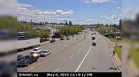
Smithers › North: Hwy 16 in - at Main Street, looking north
Area I › South-West
Delta › North: Hwy 99, north of Hwy 17A overpass, looking north
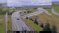
Malakwa › East: Hwy 1, east of Sicamous at Cambie/Solsqua Roads, looking east
Pitt Meadows › East: Hwy 7 (Lougheed Hwy) at Dewdney Trunk Rd, looking east
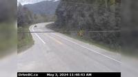
Area D › East: Hwy 4 about 37 km west of Port Alberni at turn off for Taylor River Rest Area, looking east
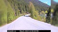
New Denver › West: Hwy 31A, at Retallack between - and Kaslo, looking west
Whistler Creekside › West: Hwy 99, in Whistler at Lake Placid Rd, looking west
Saanich › East: Hwy 17 northbound at - Rd, looking east
Abbotsford › North
Abbotsford › East: Clayburn Road - Abbotsford-Mission Highway
Delta › South: Hwy 17 (South Fraser Perimeter Rd) at Deltaport Way in South - looking south
Explore by Continent
Europe
Asia
South America
Oceania
North America
Africa


Discuss