Live Cams
Countries
Featured Cams
Get A Cam
Live Cams
Countries
Featured Cams
Get A Cam
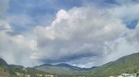
Regional District of Bulkley-Nechako: Burns Lake Airport W | Live Webcams
Webcam & Weather Report
See.cam
North America
CA
British Columbia
Palling
Regional District of Bulkley-Nechako: Burns Lake Airport W
Current Still
Timelapse
Daylight Still
Webcam was last updated 6 years ago
Rating
Webcam Views
Map
Discuss
See more webcams in
British Columbia
Area A › North
West Lynn › South: Hwy 1, northend of Ironworkers Memorial Bridge at Fern Street, looking southbound
View Royal
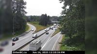
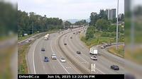
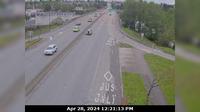
Surrey › West: 104th Avenue and Hwy 17, looking westbound
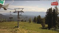
Kimberley › North-East
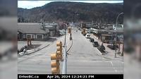
Smithers › West: Hwy 16 in - at Main Street, looking west
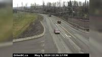
New Westminster › West: Hwy 1 in Coquitlam, west of the Brunette Ave overpass, looking west
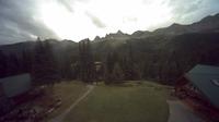
Fernie: Island Lake
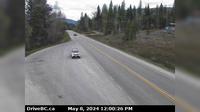
Area B › West: Hwy 3, near Goatfell, about 9 km northwest of Yahk, looking west
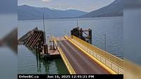
Area A › South-West: Kootenay Bay Ferry Landing, looking southwest to ferry ramp
Victoria-Fraserview › North: North end of Knight Street Bridge, looking north
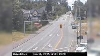
Telkwa › South: Hwy 16, in - at Hankin Rd, looking south
Explore by Continent
Europe
Asia
South America
Oceania
North America
Africa


Discuss