Live Cams
Countries
Featured Cams
Get A Cam
Live Cams
Countries
Featured Cams
Get A Cam
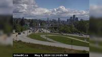
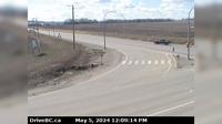
Port Coquitlam › South: Hwy 7B (Mary Hill Bypass), at Pitt River Rd, looking south | Live Webcams
Webcam & Weather Report
See.cam
North America
CA
British Columbia
Port Coquitlam
Port Coquitlam › South: Hwy 7B (Mary Hill Bypass), at Pitt River Rd, looking south
Current Still
Timelapse
Daylight Still
Webcam was last updated 3 years ago
Rating
Webcam Views
Map
Discuss
See more webcams in
British Columbia
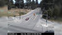
Saanich › East: Patricia Bay Hwy (Hwy 17) at Sayward Rd in - looking east
Area B › North: Hwy 93 at - USA Border Crossing, looking north
Beachview Crystal Cove Beach Resort
Summit Lake › West: Hwy 97 at - Rd, about 48.5 km north of Prince George, looking west
Victoria-Fraserview › South: North end of Knight Street Bridge, looking south
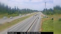
Surrey › West: Hwy 1 at 176th Street overpass, looking west
New Westminster › East: Hwy 91A, north end of Queensborough Bridge, looking east
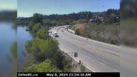
Lake Country › South: Hwy 97, in - by Wood Lake, looking south
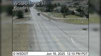
Osoyoos › South: US 97 at MP 336.4: (View South)
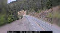
Boston Bar › North: Hwy 1 at Bradley Hill, about 3.5 km south of Hells Gate, looking north
Dawson Creek › South: Hwy 97 at Dangerous Goods Route, west of - looking south
Township of Langley › South: Hwy 1 eastbound on-ramp from 232nd St, looking south
Explore by Continent
Europe
Asia
South America
Oceania
North America
Africa




Discuss