Live Cams
Countries
Featured Cams
Get A Cam
Live Cams
Countries
Featured Cams
Get A Cam
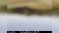
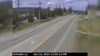
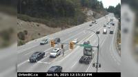
Port Edward › West: Hwy 16, east of Prince Rupert near McNeil River at the Rainbow Summit chain-up area, looking west | Live Webcams
Webcam & Weather Report
See.cam
North America
CA
British Columbia
Port Edward
Port Edward › West: Hwy 16, east of Prince Rupert near McNeil River at the Rainbow Summit chain-up area, looking west
Current Still
Timelapse
Daylight Still
Webcam was last updated 2 years ago
Rating
Webcam Views
Map
Discuss
See more webcams in
British Columbia
Abbotsford › North: McCallum Road
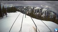
Area E: Whitewater Ski Resort
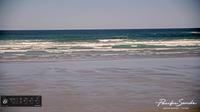
Area C › East: Cox Bay Beach
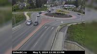
Delta › East: Hwy 17A, at Hwy 10 (Ladner Trunk Rd), looking east
Burns Lake › West: Hwy 16, in - at N. Francois Hwy, looking west
Abbotsford › South: Hwy 1 at Hwy 11 (Sumas Way) in - looking south
Terrace › West: Hwy 16 at Hwy 37S near - looking west
Prince Rupert › North-West
Langford › South: Hwy 1 at West Shore Parkway, looking southbound towards Victoria
Witset › West: Hwy 16, in - at Beaver Road, looking west
Area C › North
Chilliwack › South: Evans Road overpass at Hwy 1 near - looking south
Explore by Continent
Europe
Asia
South America
Oceania
North America
Africa


Discuss