Live Cams
Countries
Featured Cams
Get A Cam
Live Cams
Countries
Featured Cams
Get A Cam
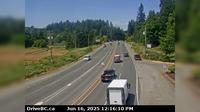
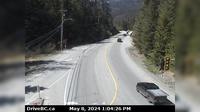
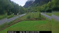
Area G › East: Hwy 19, south of Qualicum Interchange at Hwy 4, looking east | Live Webcams
Webcam & Weather Report
See.cam
North America
CA
British Columbia
Area G
Area G › East: Hwy 19, south of Qualicum Interchange at Hwy 4, looking east
Current Still
Timelapse
Daylight Still
Webcam was last updated 2 years ago
Rating
Webcam Views
Map
Discuss
See more webcams in
British Columbia
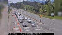
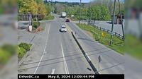
Nanoose Bay › North: Hwy 19 at Northwest Bay Rd, near - looking north
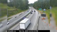
North Cowichan › South: Hwy 1, at Herd Rd/Cowichan Valley Hwy, about 5 km north of Duncan, looking south
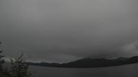
Central Coast Regional District: Addenbroke Island Lightstation Webcam
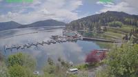
Campbell River: The Narrows Floating Restaurant - Brown's Bay Resort & Village - Seymour Narrows
Bayshores › South-West: Hwy 99 at Bayshore Drive, looking southbound
Area C
Area I › West: Hwy 1, about 6 km east of Lytton Airport, looking west
Area B
Harrison Hot Springs › East: Hwy 1 at Herrling Island overpass, westbound looking east
Nanoose Bay › East: Hwy 19 at Northwest Bay Rd, near - looking east
Cedar Village › West: Hwy 1, near Lynn Valley Rd onramp, looking west
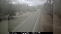
Rosswood › North: Hwy 113 near - about 44 km north of Terrace, looking north
Explore by Continent
Europe
Asia
South America
Oceania
North America
Africa


Discuss