Live Cams
Countries
Featured Cams
Get A Cam
Live Cams
Countries
Featured Cams
Get A Cam
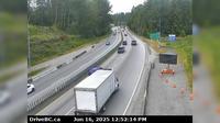
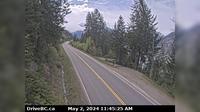
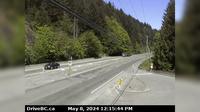
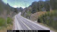
Area I › West: Hwy 1, about 6 km east of Lytton Airport, looking west | Live Webcams
Webcam & Weather Report
See.cam
North America
CA
British Columbia
Area I
Area I › West: Hwy 1, about 6 km east of Lytton Airport, looking west
Current Still
Timelapse
Daylight Still
Webcam was last updated 3 years ago
Rating
Webcam Views
Map
Discuss
See more webcams in
British Columbia
Cedar Village › West: Hwy 1, near Lynn Valley Rd onramp, looking west
Salt Spring Island Electoral Area › South: SaltSpringIsland-GangesHarbour
District of North Vancouver › West: Hwy 1 (Upper Levels Highway) at Capilano Rd. looking west
Wright › North: Hwy 97, 37 km south of Williams Lake, looking north
Regional District of Central Kootenay › South: Hwy A near Sanca Creek, . km south of Sanca Creek Bridge, looking south
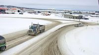
Fort St. John › North: Hwy 97 at 100<sup>th</sup> Ave in - looking north
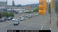
Duncan › East: Hwy 1 in - at Trunk Rd, looking east
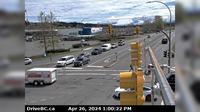
Courtenay › South: Hwy 19A at Ryan Road in - looking southbound
Langford › North: Hwy 1 at Tunnel Hill on the Malahat, looking north
Area B › North: Hwy 93 at - USA Border Crossing, looking north
Squamish › North: Hwy 99, about 24 km north of - looking north
Salmon Arm › West: Hwy 1 at 30th Street SW in - looking west
Explore by Continent
Europe
Asia
South America
Oceania
North America
Africa

Discuss