Live Cams
Countries
Featured Cams
Get A Cam
Live Cams
Countries
Featured Cams
Get A Cam
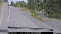
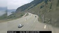
Peace River Regional District › North: , Hwy , about km south of the Sikanni River Bridge and about km north of Fort St. John, looking north | Live Webcams
Webcam & Weather Report
See.cam
North America
CA
British Columbia
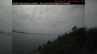
Mason Creek
Peace River Regional District › North: , Hwy , about km south of the Sikanni River Bridge and about km north of Fort St. John, looking north
Current Still
Timelapse
Daylight Still
Webcam was last updated 6 years ago
Rating
Webcam Views
Map
Discuss
See more webcams in
British Columbia
North Cowichan › East: Hwy 1, at Herd Rd/Cowichan Valley Hwy, about 5 km north of Duncan, looking east
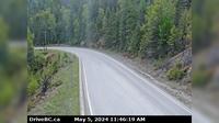
Area H › North-West: ManningProvincialPark
Port Edward › South: Hwy 16 at - arterial road, looking south
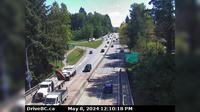
Chilliwack › West: Hwy 7 at Deroche Rd and Nicomen Rd railway crossing, looking west
Southern Gulf Islands Electoral Area › South-West: SaturnaIsland-EastPoint
District of North Vancouver › East: Hwy 1 (Upper Levels Highway) at Capilano Rd. looking east
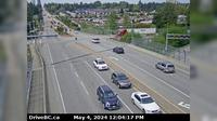
Delta › North: Hwy 99, north of Hwy 17A overpass, looking north
Lumby › East: Hwy 6, Shuswap Hill west of Cherryville, looking east
Grandview › West: Hwy 99 at 16th Avenue, looking west
Summerland › South: Hwy 97 at Callan Rd, about 6 km north of - about 15 km south of Peachland. Looking south
Port McNeill › North
Colwood
Explore by Continent
Europe
Asia
South America
Oceania
North America
Africa


Discuss